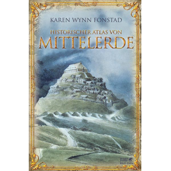
Historical Atlas of Middle-earth
{{ store.zipCode }} {{ store.city }}
- {{ weekDay.translated.name }}:
- {{ formatTime(businessHour.businessHour.start) }} - {{ formatTime(businessHour.businessHour.end) }}
- Authoritative guide to the locations of Tolkien's great works in Middle-earth
- with over 160 two-color maps in German edition
- Half linen, thread-sealed
- 18th completely revised edition from 2016
- 218 pages, hardcover, cover illustration by Alan Lee, authors Karen Wynn Fonstad, translated by Hans J. Schütz
An extensive atlas that depicts the development of Middle-earth up to the beginning of the Fourth Age.
Over a hundred maps trace the routes of Bilbo, Frodo and the companions and give an unparalleled insight into the landscapes, the great battles and the buildings from the First, Second and Third Age of Middle-earth.
In addition to physical overview maps, the atlas contains numerous geological maps, political maps, detailed maps of important regions, dwellings, terrain cross-sections, maps of climate and vegetation zones, languages and population shifts, troop movements etc. A standard work, indispensable for connoisseurs of Middle-earth.
03051 Cottbus
Similar articles